We’re launching a series to both celebrate positive examples of ‘people-first’ streets – and to point out the most dangerous and unpleasant roads in our backyards.
The next few years will be critical toward determining how American neighborhoods and transportation systems will develop over the long term. The federal government will provide $1 trillion in funding for a variety of infrastructure projects, including transportation, thanks to the Infrastructure Investment and Jobs Act passed by Congress in November 2021.
If used wisely, this money could transform our towns and cities, making them safer and helping to build a clean, sustainable future. Improvement and expansion of public transit, walking and biking infrastructure and zero-emission electric vehicles will help reduce pollution and provide more transportation options for everyone. But if funding is wasted on expanding roads and highways, we will only exacerbate the safety, health and environmental crises that come from designing our neighborhoods for cars instead of people.
Each year, pollution from cars, trucks and other vehicles cuts short an estimated 58,000 lives. Car pollution not only makes it harder to breathe and enjoy the outdoors, but it also increases our risk of developing serious diseases, such as lung cancer, stroke and heart failure. Going further, motor vehicle crashes kill an estimated 40,000 Americans and seriously injure 4.5 million more each year.
Transportation is also America’s number one source of carbon pollution. Excess highways and parking lots and a lack of support for walking, biking, and public transit have trapped too many Americans in a car-dependent system with dire impacts for both our health and environment.
It doesn’t have to be this way. With technology advancing, lifestyles changing and smart policy ideas bubbling up from cities across the country, we can make our neighborhoods healthier and safer. But we need to start investing in “people-first” infrastructure that prioritizes human beings over cars.
To fully grasp the benefits of people-first infrastructure, it’s helpful to compare what works with what doesn’t. So, we’re launching a series highlighting the best and worst of U.S. streets, showing the most frustrating examples of car-dependent planning, and celebrating our favorite examples of people-first transportation.
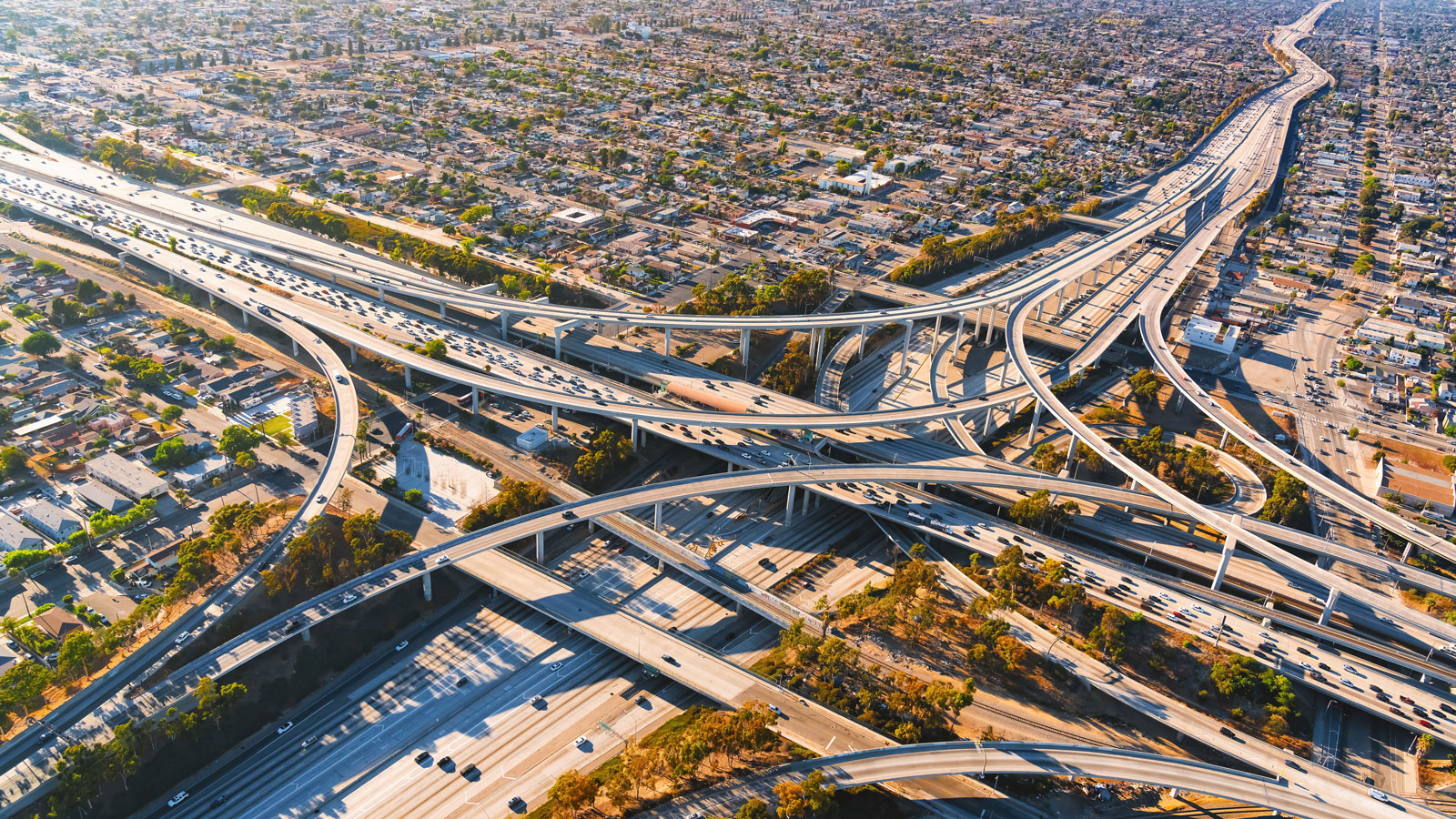
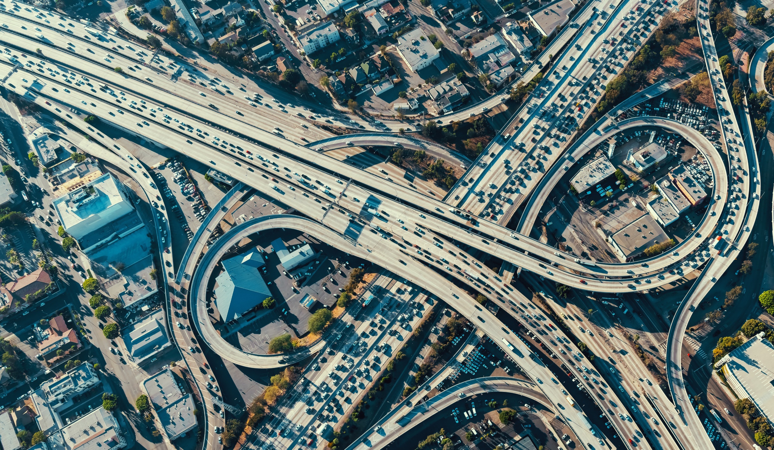
To kick things off, we’d like to nominate the monstrous 26-lane Katy Freeway in Houston, Texas as one of the most shocking examples of car-dependency in America:
Photo by Matt Casale in Houston, Texas
Just by looking at this photo, you can almost smell the exhaust and hear the roar of cars. The amount of money and gasoline burned for this massive boondoggle is shocking. Is this really what we want our cities to look and feel like?
On a smaller scale, poorly designed intersections often contribute to some seriously unpleasant, pedestrian-hostile landscapes. In one spot in Chicago, if you’re biking, you might yourself trapped at one point on a small divider with no crosswalks, staring head-on into oncoming traffic:
Photo by Mac Dressman in Chicago, Illinois
Finally, even when plans include pedestrians and bicyclists in the infrastructure, execution is often lacking. For example, it’s clear that safety for bicyclists and pedestrians is not prioritized on this Massachusetts road, where the mailboxes jut into the tiny, unprotected bike lane:
Photo by Ryan Giunta in Massachusetts
Our neighborhoods and streets don’t need to look like this. By prioritizing people-first transportation like walking, biking and public transit instead of maximizing car speeds, our towns and cities can become safer, cleaner and more pleasant.
Here’s an example of a narrow street in Chicago with a set off bike lane and sidewalk, ensuring that all modes of transportation are viable:
Photo by Mac Dressman in Chicago, Illinois
Prioritizing public transportation also makes a street feel more like a place to spend time, instead of just a place to pass through. Here’s a spot in downtown Washington, D.C., with a well-marked pedestrian crossing, a protected bike lane and an accessible sheltered bus stop.

Photo by Sam Little in Washington, D.C.
Finally, here’s perhaps my favorite place: Chicago’s lakeshore bike and pedestrian paths. The separation from the road and access to nature makes this area both attractive and very useful for navigating the city. And it’s not in some far-off corner only accessible by car, either.
Photo by Mac Dressman in Chicago, Illinois
We’re starting this series with some photos of our own, but readers are highly encouraged to submit their own photos of the best/worst people-first infrastructure in their communities. We will feature the best ones on our social media and the next installment of this ongoing series.
We’re looking for examples of the following:
Car-first infrastructure:
Excessively large roads/highways
Ugly/excessively large/poorly placed parking lots
Dangerous pedestrian crossings
Streets missing sidewalks or bike lanes
Poorly placed sidewalks and bike lanes
Important locations that are inaccessible by foot/bike/transit
Poorly managed temporary changes to pedestrian infrastructure (closures with no alternative path or poorly cleared off areas after snowstorms)
People-first infrastructure:
Protected bike lanes
Pedestrian-only plazas/closed streets
Good bus stops with dedicated lanes
Attractive transit stops
Narrow streets with pedestrian-friendly design
Roadway lighting fixtures
Visible crosswalks
Areas with accessibility infrastructure (ramps, tactile paving, etc.)
Uses trees, bollards, or benches to create a physical barrier between pedestrians and the road
Please email photos with a brief explanation and the general location to [email protected]. We’re excited to see what you have to share!
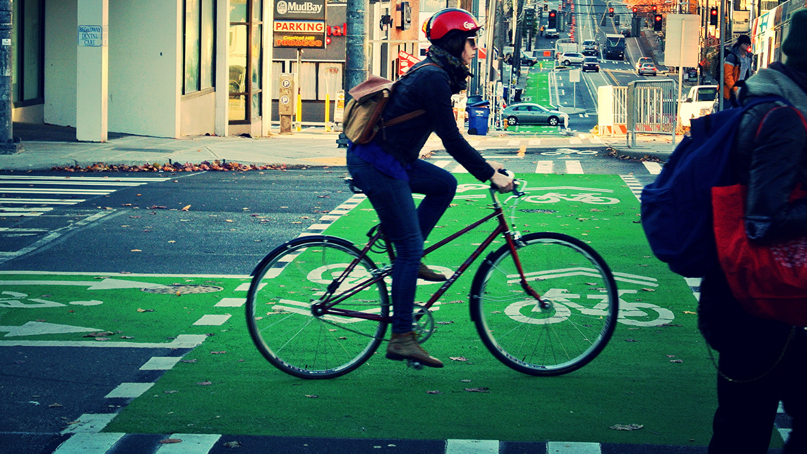
Background Image: SDOT Photos, flickr.com
Former Director, Environment Campaigns, PIRG